- Data Basin |
- Galleries |
- San Joaquin Valley Project Prioritization Tool
San Joaquin Valley Project Prioritization Tool
Feb 6, 2020
(Last modified Jan 6, 2022)
Created by
Conservation Biology Institute
About
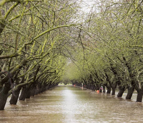
In 2017, American
Farmland Trust (AFT) and the Conservation Biology Institute (CBI) assessed the
capacity and resilience of agricultural production in the San Joaquin
Valley by analyzing the distribution and quality of the region’s
farmland
and water resources while also considering future impacts. The San Joaquin Land and Water Strategy used maps
and summarized data analysis to show how the risk to agricultural land
from future development could be significantly reduced by implementing
more compact and efficient development patterns.
The San Joaquin Land
and Water Strategy provided the background and supporting structure
for the next phase of the project on the Data
Basin platform: the Project Prioritization Tool.
Based on the data
analysis of the San Joaquin Land and Water Strategy, AFT and
CBI developed the Project Prioritization Tool (PPT) as
a conservation decision-making support tool to help increase the adoption of water infiltration
practices, improve groundwater recharge, and protect agricultural land in the San Joaquin Valley (SJV). The associated manual demonstrates how SJV stakeholders can
use this tool to select and support projects that meet
priority criteria and have the greatest potential to effectively
infiltrate
and conserve water. Using this tool, AFT and other stakeholders in the
San Joaquin Valley can identify and develop agricultural
land protection and natural resource conservation projects
and support larger land use planning decisions.
The interactive and modular mapping platform provides
users with a default “start-up map” that has layers dedicated
to farmland quality, development threat level, crops, and water
resources among other data.
Recommended by Justin Brice
This gallery is visible to everyone
Gallery contains
- 12 Folders
- 51 Datasets
- 10 Maps
- 4 Galleries
- Usage
- Bookmarked by 7 Members , 1 Group
American Farmland Trust
Conservation Biology Institute
About the Gallery Author
Conservation Biology Institute
We provide advanced conservation science, technology, and planning to empower our partners in solving the world’s critical ecological challenges