- Data Basin |
- Use Cases
Use Cases
Analyzing and interpreting spatial information.

Effects of climate and vegetation on martens and fishers in the Sierra Nevada, California
Conservation Biology Institute and the Yale Mapping Framework
See the full project analysis...
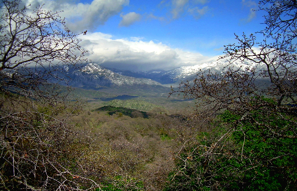
CBI investigated the effects of climate and vegetation on the distribution of martens ( Martes caurina ) and fishers ( Martes pennanti ) in the Sierra Nevada in California under current and projected future conditions to inform conservation efforts for these species and to investigate how different modeling methods and resolutions may affect predictions about species’ responses to climate change. Martens and fishers are closely related forest carnivores of conservation concern in California, where both reach their southernmost distributions. The...
Framework focus Protect future patterns of biodiversity Maintain ecological functions and processes Maintain and restore ecological connectivity Protect climate refugia
